senil
Active member
Hello,
After several months of stopping, I return to resume the construction of the Ardumower.
I'm stuck in communicating with the satellites and creating my first map.
I tell you the situation I'm in.
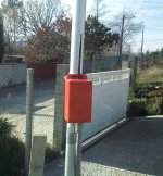
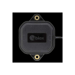
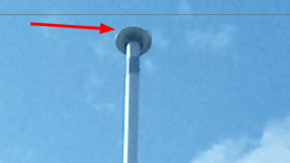
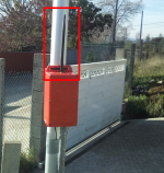
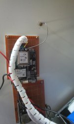
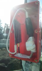
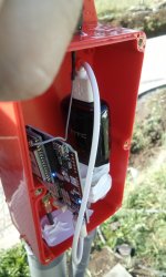
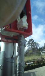
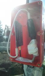
I have already installed a charging base and a mast about 5 meters high to place the GPS antenna as high as possible.
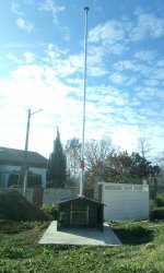
The mower is located in Spain, I don't know if it is necessary to configure something else in the system because it is in this area.
I have used "Method 1: Your own RTK base"
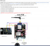
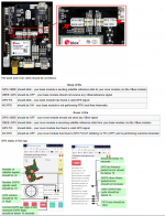
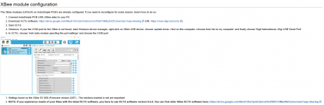
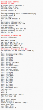
I have set up all the steps as shown in the instructions on the web Wiki.
I have used "Mode '1 - Survey-In' (90s/5m precision)"
I have a question about this comment:
"Your base should get a '3D' position solution (verify this!)."
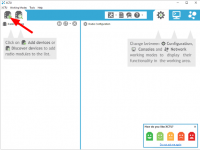
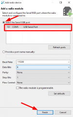
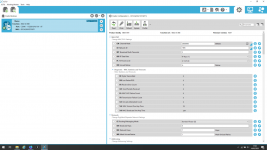
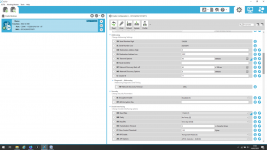
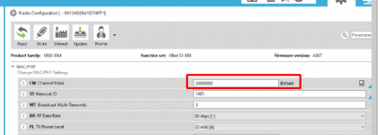
Where should this be displayed? I show you my output on the computer:
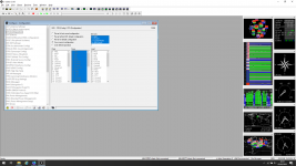
After performing these steps I have connected my Ardumower with the tablet and this data appears:
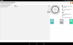
It tells me that there is no "FIX" and instead "INVALID" appears.
Where can the problem be? Should I look for the fault in the BASE or in the ROVER?
If I try to create the first map I get a warning that there is no "FIX" and it doesn't add points to the map, it doesn't even show me points or coordinates.
I appreciate any suggestion in advance.
Many thanks for everything!
Greetings.
After several months of stopping, I return to resume the construction of the Ardumower.
I'm stuck in communicating with the satellites and creating my first map.
I tell you the situation I'm in.
I have already installed a charging base and a mast about 5 meters high to place the GPS antenna as high as possible.
The mower is located in Spain, I don't know if it is necessary to configure something else in the system because it is in this area.
I have used "Method 1: Your own RTK base"
I have set up all the steps as shown in the instructions on the web Wiki.
I have used "Mode '1 - Survey-In' (90s/5m precision)"
I have a question about this comment:
"Your base should get a '3D' position solution (verify this!)."
Where should this be displayed? I show you my output on the computer:
After performing these steps I have connected my Ardumower with the tablet and this data appears:
It tells me that there is no "FIX" and instead "INVALID" appears.
Where can the problem be? Should I look for the fault in the BASE or in the ROVER?
If I try to create the first map I get a warning that there is no "FIX" and it doesn't add points to the map, it doesn't even show me points or coordinates.
I appreciate any suggestion in advance.
Many thanks for everything!
Greetings.